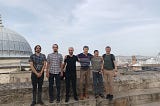
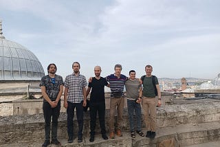
GeoAlertinGeoalert platformTeam meeting in IstanbulLast week our RnD team met in Istanbul. All of us are used to working remotely but it’s important to make fun of the work and increase…Apr 26Apr 26
GeoAlertHow to run bulk processing for feature extraction with Mapflow APIMapflow.ai is a platform for geospatial imagery processing and digital mapping on a large scale. So most of our commercial cases are…Sep 5, 2023Sep 5, 2023
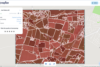
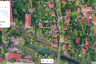
GeoAlertinGeoalert platformSegment Anything with MapflowIn April 2023 Meta AI introduced the open model which was claimed to be foundational to identifying any objects in any image. While the…Jul 7, 2023Jul 7, 2023
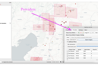
GeoAlertHow you can use Mapflow-QGIS to leverage the search for the open data by MAXARMAXAR keeps on publicly releasing imagery of the affected areas to support response efforts — see their last publications following the…Feb 9, 2023Feb 9, 2023
GeoAlertinGeoalert platformGeoalert 2022 ReviewAt the beginning of the year, we looked back to highlight some milestones in our company life, business, and product development. We’re…Jan 11, 2023Jan 11, 2023
GeoAlertMapflow users' feedback 2022At the end of 2022, we would like to thank all of our users who leave their feedback ⭐️ for their contribution to the Mapflow AI-mapping…Dec 30, 2022Dec 30, 2022
GeoAlertinGeoalert platformBeing a SaaS (Small Analytics company) in the Earth Observation marketThe title of this blogpost should have referred to the conference we attended two months ago. However, I decided to extend the topic to the…Aug 31, 2022Aug 31, 2022
GeoAlertinGeoalert platformENGAGE 2022This was the second time we participated in the “Engage” conference organized by Maxar — the leading satellite imagery provider. Due to…Jun 30, 2022Jun 30, 2022
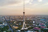
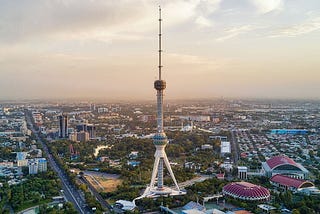
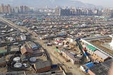
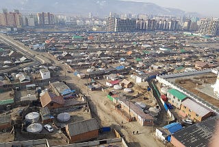
GeoAlertNew Urban Mapping datasets: Tashkent and UlanbaatorAfter the long break we started publishing more datasets under the Open Urban Mapping project. Initially the project was aimed at…Jun 12, 2022Jun 12, 2022
GeoAlertNew aero / UAV Buildings model on Mapflow.aiWe released our new experimental model for 10cm images — the ones captured by drones or aerial sensors from above.Jun 3, 2022Jun 3, 2022